10/12/2014

Training: QGIS training to Sabah local authorities, 1/12//2014 - 3/12/2014


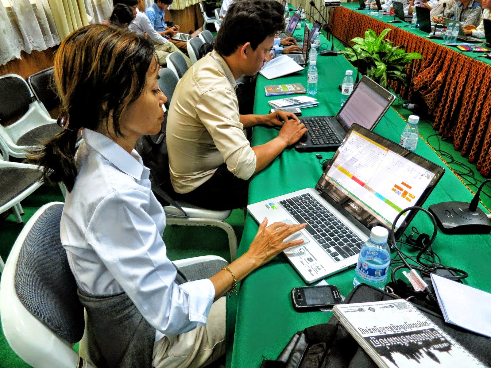
Efforts to hold a QGIS training surfaced in April after my department held an exhibition at Kota Kinabalu. The Sabah Town Planning Department followed through and was desirous to sponsor it but was hampered by financial constraint. Still we never gave up, on our part tried and eventually secured the financial resources to hold it which eventually took place at TH Hotel, Kota Kinabalu, 1-3/12/2014. Not including particiants from Sabah Town Planning Department, all local authorities were invited and we saw a mix of participants some were engineers, town planners and of IT background, many of whom were still new to GIS. However, some could not make it because it rained so heavy the first day that our flight was diverted to Labuan airport for 4 hours until the rain lessen which saw some parts of Sabah flood. However, I must say, the course was a success because they were so enthusiastic and kept asking, asking and asking questions and clever me made them make mistakes because I knew only too well that's the way that they'll learn fast. It continued in the night and their attendance was impressive to say the least even to the last day, trying hard to squeeze every bit of knowledge they could extract from me. I know the course which as basic-intermediate was rather heavy for first timers to GIS but I believe I had managed to pass on the fundamentals well. I hope QGIS will spread fast throughout Sabah from now onwards. Hello Sarawakians, what about you guys? Interested?


Isma Syafry
Thanks to En. Abbas Abdul Wahab and the team from JPBD for a job well done. QGIS is very usefull and quite friendly to use. It's just as good if not better as some of the commercial software out there.

Anonymous
QGIS sangat baik dalam kerja-kerja dokumentasi secara lebih teratur dan sistematik cuma minta lebih masa untuk kursus latihan dan praktikal masa akan datang.

Anonymous
QGIS lebih mudah digunakan dan di fahami serta sentiasa berkembang dari segi teknologinya. Apa yang lebih penting penggunaan QGIS dalam sektor kerajaan lebih menjimatkan dan memberi perluang kepada penyediaan hardware dengan lebih baik lagi.

Danny G. F. Malinggi
Kursus QGIS ini sangat berguna dan dapat memberikan lebih pemahaman dalam menggunakan QGIS dengan cara yang betul. Namun masa kursus yang agak singkat dirasakan belum cukup untuk mempelajari dan memahami QGIS sepenhunya.

Zuldahri Tujoh
Mudah difahamai dan user-friendly

Nurul Asykin
Mudah digunakan, sangat menarik dan berguna untuk membantu saya dalam kerja di pejabat dan yang penting FREE!!

Julianah Jimir
Kursus yang sangat menarik. First time pelajari ilmu baru, menarik, mudah FREE. InsyaAllah diusahakan untuk mengimplitasik kemahiran baru ini dalam kerja-kerja harian dipejabat.

Rusli Habe
Kurus yang sangat menarik dan mudah untuk digunakan dan ianya percuma. Saya akan memberitahu kepada rakan-rakan mengenai QGIS

Mohd. Amin
Kursus yang sangat berguna. Pertama kali menggunakan QGIS menampakkan berguna berkaitan kerja saya akan tetapi bukan skop kerja saya. Saya akan mempermosikan kepada kawan-kawan kursus ini perlu lanjutan.

22/11/2014

Raster Terrain Analysis

You have to activate this plugin if you want to use it
GIStutor gives tutorial
Recently, I got a request on how to do a slope gradient analysis and I must admit I am rusty on this one because I left it long time ago way back in 2010. But I looked up the plugins, found and activated the Raster Terrain Analysis plugin because it jogged my mind and I had previously used it and it turned out to be a very simple yet powerful tool. Doing a Google search on that specific plugin, I found a tutorial at GIStutor which looks not bad. Most people when they get stuck in getting help using QGIS often forget that there can be tons of help on the Internet but forget to do a simple but specifically typed out Google search to help them out especially when they are all alone with no one to guide them through. Well friends, that is how I got through on my own and I found out the more popular the subject on QGIS, the more you will find hel on the Internet.

18/11/2014

Free and Open Source (FOSS) GIS Workshop at the Royal University of Agriculture, Phnom Penh, Cambodia, 14/11/2014


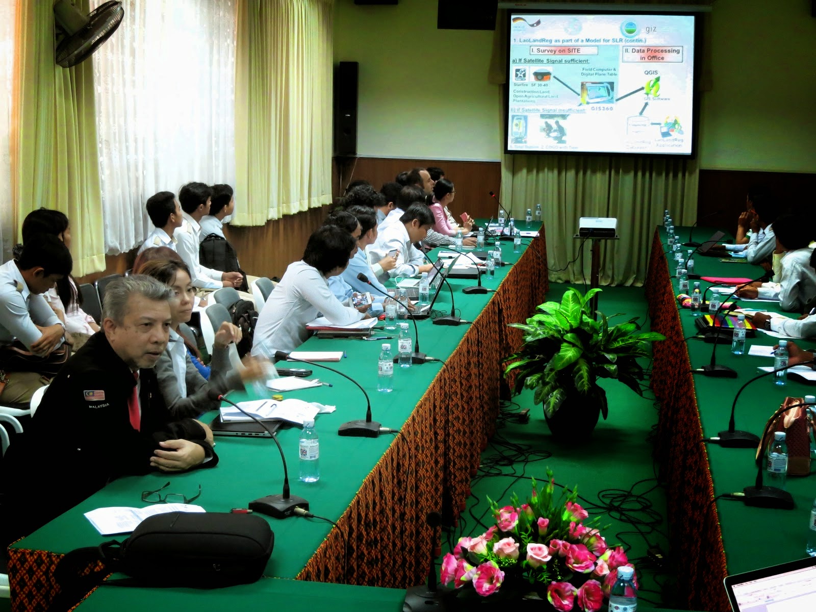
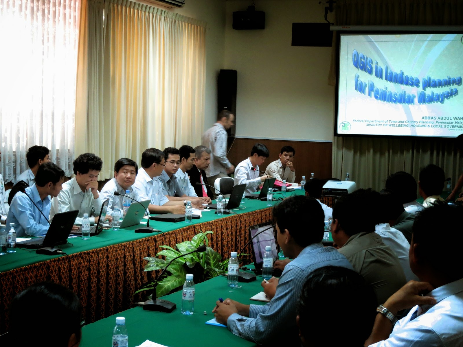
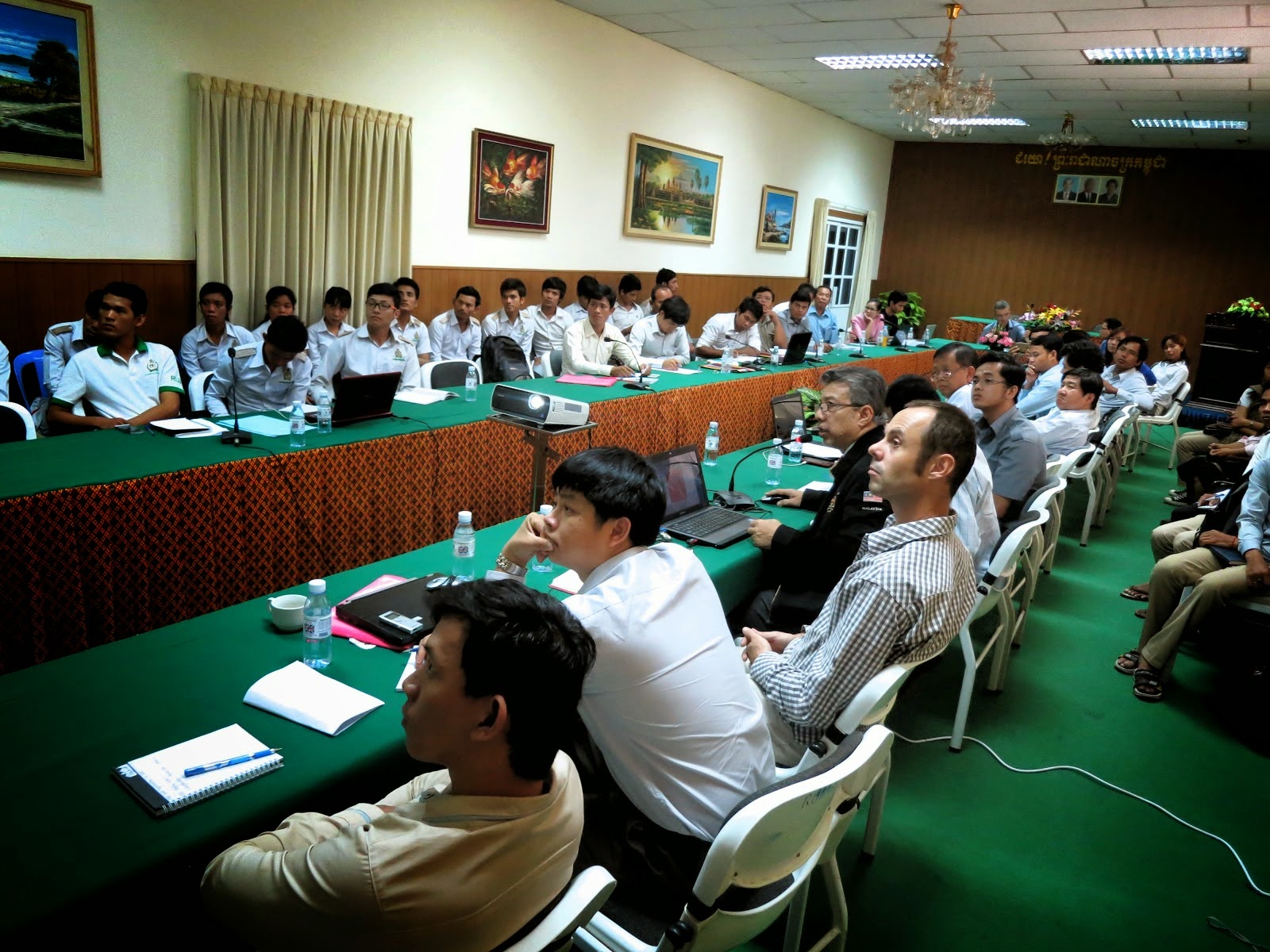
I was invited to give a talk at the above workshop organized by the Royal University of Agriculture, Cambodia in cooperation with Deutsehe Geshellschaft fur Internationale Zusammenarbeit (GIZ) GmbH. It centered on FOSS for land management and land administration with the objective to encourage the exchange of experiences and good practices, get rid of common misconceptions about FOSS and build trust in the reliability and the approach of open source software. There was a talk on the Laos Land registration System based on QGIS and PostgreSQL by Ms. Chansamai Kommanyvanh (Laos Ministry of Nat. Resources and Environment), Mr. Souksavanth Chanhtangeun and Mr. Christain Metzger (GIS Laos) After coffee break, I gave my talk on QGIS and landuse planning in Malaysia. This was followed by a talk on Geoserver implementation and integration into a website: the case study of the Open Development Cambodia website by Mr. Seila NHIEP (ODC). As we walked off for lunch, I was greeted by senior and junior participants who said they really enjoyed my presentation and found it most interesting. That pleased me a lot. After lunch, Mr. Christian Metzger talked during the workshop session on how to use the Toplogy Checker as well as plugins like MMGIS. If there was anything unfortunate, the power supply tripped 5 times during the afternoon but came back after 5 mins. I was told power failure trips are quite common in Cambodia however that day was an exception. Still, all-in-all, the Secretariat was most happy and agreed the workshop was a success where about 60 participants came and others had to be turned down because the venue could only handle a limited number of audience. I believed that with sceptics, one has to be honest about things, draw the line what QGIS can and cannot do, even clarify what desktop GIS do and cannot do then explain what alternatives are there, and lastly, the problems and challenges I faced to make the use of QGIS a success. Before this, I have been to Spain but never to Cambodia so for me, on the whole, it was most a most enjoyable trip.

06/11/2014

From PDUK to NDCDB, and away we go.


My department relies on the Survey department's (JUPEM) cadaster map in the preparation of our value-added landuse maps where we traditionally use their Solder Cassini projected cadaster maps. Since 2010, JUPEM embarked on the preparation of geodetic NDCDB cadaster maps which we welcome it because it integrates all state cadaster maps under one reference point i.e. the centre of the earth just like their topography map with its reference point at Kertau,Pahang for Peninsular Malaysia. Using my trusty QGIS, now ver 2.6, I activated Google Hybrid then all 11 state cadaster maps and was most happy to see they fit well like a jigsaw puzzle as seen in the upper image. Next, I zoom down to the point where the cadaster maps of Pahang, Negeri Sembilan and Johor meet and as shown in the lower pix, again am very pleased that JUPEM has done an excellent job. There is an issue which we found that when the PDUK 2011 was transformed to GDM2000 projection using JUPEM's parameters, it still was not a mirror reflection of NDCDB cadaster map, even found that were more lots in the PDUK 2011 than the NDCDB 2013. We have still trying to resolve this or at least compromise but one thing is for sure, the way forward is the use of the NDCDB cadaster because every new annual cadaster map produced by JUPEM is based on the geodetic map projection which to me is a sound and practical move.

02/11/2014

Ubuntu 14.10 and QGIS 2.6 Brighton


Facebook messages inform me that QGIS 2.6 is out so I decided to give it a try. I updated Ubuntu terminal mode using the apt-get update mode. Next, some files don't get updated because of  this PUBLIC key hiccup. Thankfully  my son is studying computer engineering and told me to make a Google search using no_pubkey and looking up askubuntu's How do I fix the GPG error “NO_PUBKEY”?  My son was so fast at it but roughly speaking he took a script from ask ubuntu and pasted it on the terminal then added the pubkey from the terminal and ran it. Later, I  upgraded using terminal mode. The Ubuntu Software UPdater GUI was still active so I installed what there was to install and noted it started to upgrade qgis to 2.6. Lastly, I gave the computer a logout-login, activated QGIS 2.6 and Google Hybrid then activated a landuse map of Kota Bharu and everything came out well in off the fly mode. Cool!

27/10/2014

QGIS 2.4 compatible with Ubuntu 14.10


Of lately, I do not have the time to tinker with QGIS but just gave it a try and am very happy to note that QGIS 2.4 is compatible with Ubuntu 14.10 where my reference test is for QGIS to be able to activate Google Hybrid and it does so smoothly. For those of you who know me know that I'm a Ubuntu geek and can understand why the Ubuntu QGIS is more important to me than the Windows version. Got to go!


28/06/2014

Selecting an Enterprise GIS Solution


Selecting an Enterprise GIS Solution

Surfing the internet, something caught my eye. It was an article about Selecting an Enterprise GIS Solution but to me it was simply gvSIG vs. QGIS. I always then needed this sort of comparative analysis from big time GIS people who were also well verse with ESRI products and could serve as a valuable second opinion after all, this chap Abbas doesn't really know what's he's talking does he, when he talks  about QGIS, after all, his first degree is not from Geomatics. This is the reality I have to put up with but I knew after toying around with it in its early days, QGIS is the way to go and I know I am right. Well, I'll let this article do the talking.

QGIS 2.4.0 - Chugiak and Ubuntu 14.04 LTS 64 bit


QGIS 2.4.0 - Chugiak and Ubuntu 14.04 LTS 64 bit

Every morning, I would as usual select Ubuntu's Software Updater and give it a run for its "money" then I noticed during the downloading process, most of the files were related to QGIS. The system auto-installed after which I noticed my QGIS icon disappeared. I went to create a new one and Hey Presto I see we have got a new version of QGIS called Chugiak which is a place up in Alaska. That rings a bell because if I am not mistaken, Gary Sherman resides in Alaska, the details of which I do not know. This is the weekend and I have so many domestic chores to do so for the time being, this is the latest news direct from my oven. I did however immediately checked and successfully updated the OpenLayers and Table Manager plugins. Unfortunately when I activated Google Hybrid, it appeared in the layer menu but refused to appear on the screen. The good news is that on my 64 bit i5 CPU home computer, Google Satellite activated with no hiccups and boy, this time, rendering is very fast! Someone(s) must obviously have been doing their homework right. I take my hat off to you, QGIS developers. The QGIS icon also disappears when I closed QGIS and recreate itself again upon manual recreation of icon but I expect this to be temporary issue. The bad news news is that my 32 bit office Intel® Core™2 Duo CPU E8400 @ 3.00GHz × 2 computer cannot seem to handle QGIS 2.4.0 when it concerns activating Google Maps be it Google Hybrid or even Google Satellite and will always crash. Rats! Since QGIS 2.4 is recognized as the development version and QGIS 2.2 is the stable Release version, I guess we'll have to wait for it to be fine-tuned.

01/06/2014

DIVA-GIS fror free .shp files


DIVA-GIS for free .shp files

The need to acquire free GIS data preferably in .shp format is probably in the mind of many GIS users because the majority of GIS users worldwide use .shp format. I did some web surfing and found DIVA-GIS to be a fruitful site and as you can see from above, I managed to download the administrative map of Malaysia...and there are other types too there. 

Downloading OpenStreetMap maps into QGIS


Downloading OpenStreetMap maps into QGIS

OK, it's the weekend and I'm too lazy to do my home chores so I'm tinkering with QGIS :-D , reviving the steps I previously did a long time ago to download OpenStreetMap maps into QGIS as independent GIS feature layers (point, polylines and polygons), a cheapskate way (knowing me) to get GIS data. There is only 1 condition which I have yet to explore that is the OpenStreetMap had to be set to on-the-fly or else downloading of data could not be done. What does that imply? I leave that to you. As for me, I activated OpenStreetMap then went over to Kota Kinabalu just as a random pilot project site. Using OpenStreetMap plugin, I successfully ran the first module: Download data. Next, I successfully ran the second module: Import topology from XML. Thirdly, I successfully ran the third module: Export topology to SpatiaLite. Yes, it works! The only thing I could not pinch was the basemap Mmmmm :-(

08/05/2014

How to install QCAD in Ubuntu?


How to install QCAD in Ubuntu?

There maybe times when one needs to activate a .dwg file that will later be converted into a .dxf file and used eventually as a .shp file in QGIS. Installing the .exe file for Windows was simple but if you are a pro -Ubuntu user like me, what do you do? At the QCAD website, the relevant file was downloaded as a .run file where I placed mine in the desktop. Then I had to opened the terminal to change the directory because I had saved the .run file in the desktop. Next, I ran the chmod script as in the image above, entered but nothing came yet when I double-clicked the .run icon on the desktop, steps to install the file appeared. I followed and QCAD was successfully installed. It is really simple....if you how how?

20/04/2014

Ubuntu 14.04LTS and QGIS 2.0.1-Dufour


Ubuntu 14.0.4LTS and QGIS 2.0.1-Dufour

Today, I upgraded my Ubuntu to 14.04 LTS then deleted my previous QGIS 2.2. I went back to the Ubuntu Software Centre to see what Ubuntu will recommend as the most compatible version for the latest Ubuntu OS, a step which one should approach if desirous for the most compatible version for the Ubuntu version that is currently installed. When QGIS was installed, I activated it and it seems the version most compatible is Ver 2.0.1-Dufour. By "compatible", I found that Google Maps could be imported as against QGIS 2.2 which is my basic criteria for critical plugins. I give it my thumbs up and 5*****

01/04/2014

IPLAN landuse classication QML template


IPLAN landuse classication QML template

It's lunch time and I have nothing much to do so and since our integrated landuse information system will be adopting an improved landuse classification than the original version (this version has mix-development) that was developed out in 2008, I decided to make a new qml file. Like before, the RGB code per class was attached to the ID but this time, we have decided that all attributes will be written in lower case unlike the current uppercase-lowercase approach as we are confident that this will help reduce typo error and make SQL query more accurate. 


27/03/2014

Quantum GIS Training Manual


Quantum GIS Training Manual

This manual is available here courtesy of Linfiniti. It is in HTML mode and pdf and comes in in both English and Bahasa Indonesia which incidentally Malaysians can understand Bahasa Indonesia too because the Malay and Indonesian language are similar albeit slight regional preference/difference.

28/02/2014

Synaptic Package Manager saves the day


Synaptic Package Manager saves the day

A few days ago, Ubuntu's Update Manager showed there were a number of QGIS files to be downloaded but I could not do it because they came from an unauthenticated source. Rats! So I tried to update Ubuntu's patch files via the terminal but there was still no changes insofar as QGIS patch files were concerned. Lastly, I decided to go back to my previous lover, the Synaptic Package Manager which I left behind some time ago when the sexy Update Manager came along into the scene. She responded as reliable as always cutting away the red tapes, downloading and installing all those patch files the Update Manager would not. My dearest, Synapatic Package Manager...I have been a bad boy, where in the world would I be without you?

23/02/2014

QCAD-QGIS partnership

.dwg
.dxf
polylines

polygon

Finally!
Perkongsian QCA-QGIS

Hari ni minggu, maka boleh lah godek-godek sikit QGIS. Kini, QCAD diekploitasi untuk convert fail .dwg kepada fail .dxf lalu digunakan QGIS untuk convert fail .dxf kepada fail .shp. Kemudian fitur polyline diconvert kepada polygon. Tak sampai 5 minit semuanya siap! Kemudian, saya berjaya memindah dan mengabungkan polygon tersebut dengan lapisan gunatanah dan sedia maklum pihak berkuasa perancang tempatan juga ingin melakukannya cuma disini semuanya saya tercapai tanpa membeli persirian CAD dan GIS.

QCA-QGIS partnership

Today is Sunday so I have time to fool around with QGIS. Here QCAD was exploited to convert a .dwg file into a .dxf file then QGIS was used to convert that .dxf file into a .shp file. Later, polyline features were converted into a polygon. All this took less than 5 mins.! Eventually, I managed to migrate that polygon, merge and successfully updated the landuse layer which I know is what local planning authorities want to do except that here I do it without having to pay for a proprietary CAD and GIS software.

08/02/2014

OpenGeo and QGIS become pals


OpenGeo dan QGIS jadi rakan

Menyelari internet, saya terjumpa berita baik walaupun lewat sidikit mengenai integrasi antara QGIS dan OepnGeo di sini.

OpenGeo and QGIS become pals

Surfing the internet, I found some good belated news concerning the integration between QGIS and OepnGeo here.