 |
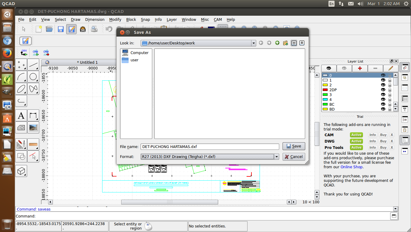
| .dwg |
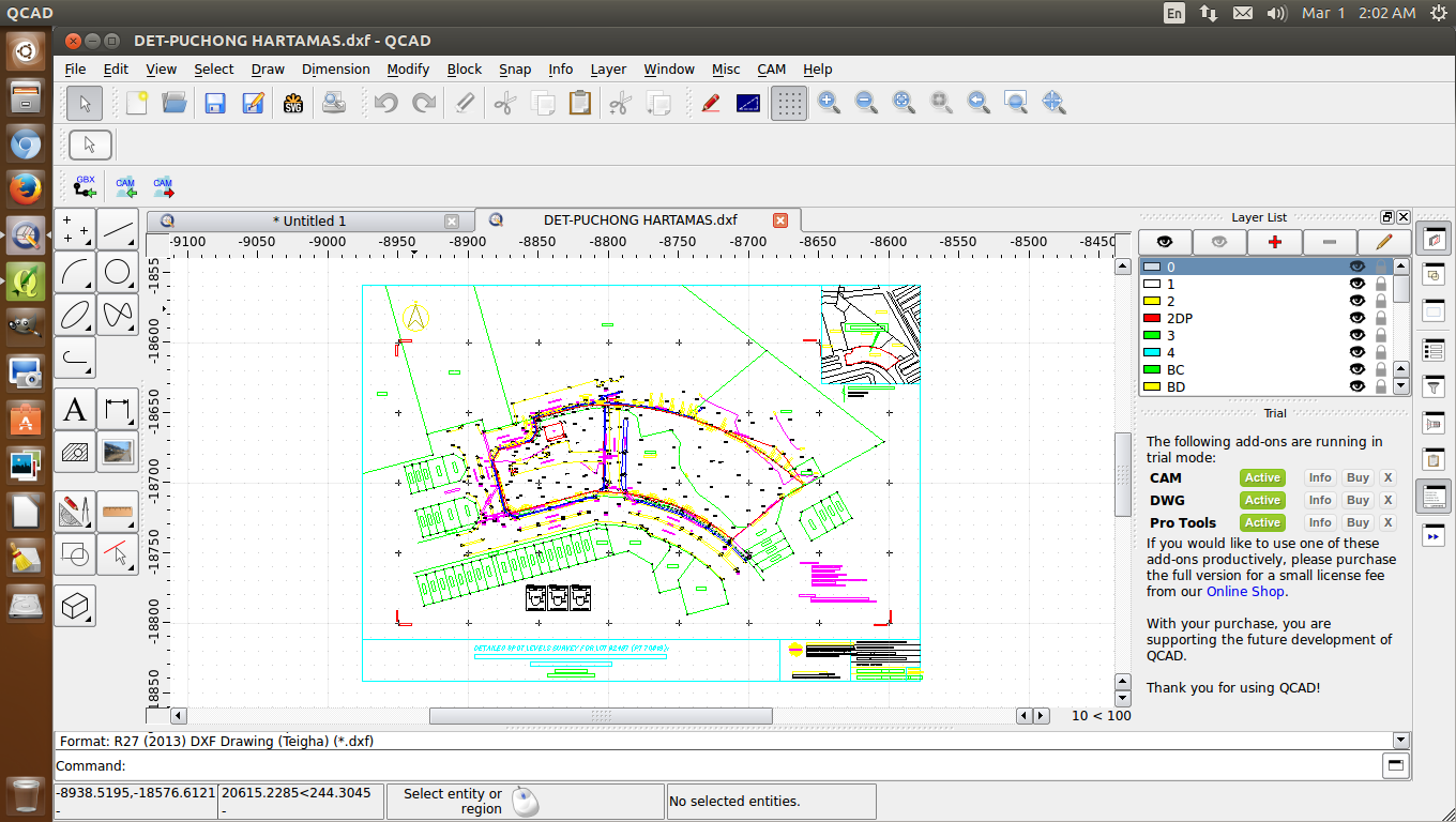 |
| .dxf |
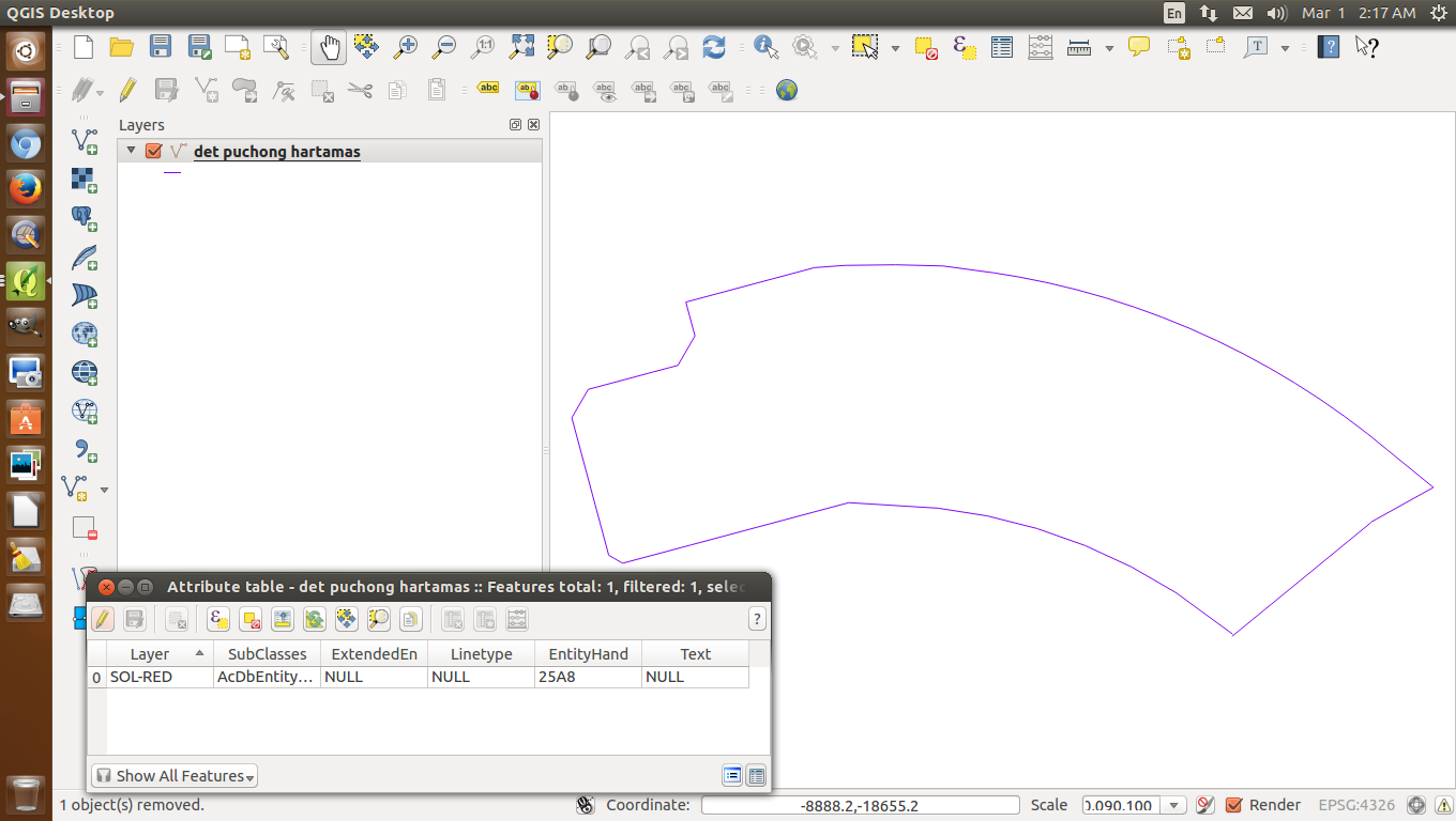 |
| polylines |
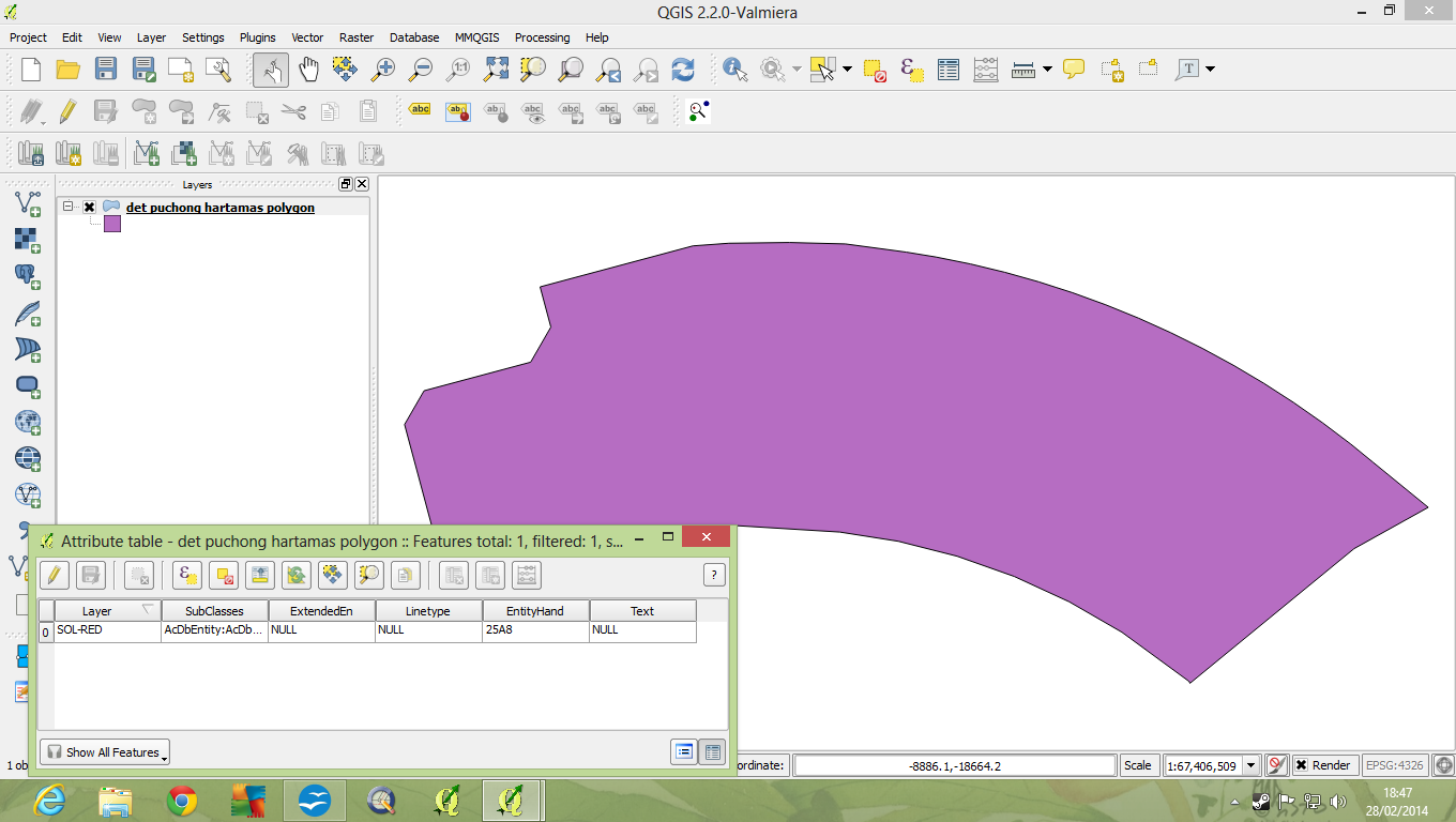 |
| polygon |
 |
| Finally! |
Perkongsian QCA-QGIS
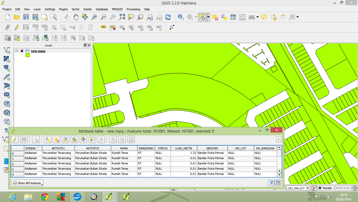
Hari ni minggu, maka boleh lah godek-godek sikit QGIS. Kini, QCAD diekploitasi untuk convert fail .dwg kepada fail .dxf lalu digunakan QGIS untuk convert fail .dxf kepada fail .shp. Kemudian fitur polyline diconvert kepada polygon. Tak sampai 5 minit semuanya siap! Kemudian, saya berjaya memindah dan mengabungkan polygon tersebut dengan lapisan gunatanah dan sedia maklum pihak berkuasa perancang tempatan juga ingin melakukannya cuma disini semuanya saya tercapai tanpa membeli persirian CAD dan GIS.
QCA-QGIS partnership
Today is Sunday so I have time to fool around with QGIS. Here QCAD was exploited to convert a .dwg file into a .dxf file then QGIS was used to convert that .dxf file into a .shp file. Later, polyline features were converted into a polygon. All this took less than 5 mins.! Eventually, I managed to migrate that polygon, merge and successfully updated the landuse layer which I know is what local planning authorities want to do except that here I do it without having to pay for a proprietary CAD and GIS software.
terbaik...
ReplyDeleteSaya sendiri tak sangka boleh siapkan memandangkan tak pernah guna perisian CAD. The key thing is that in such situation, one must use common sense and logic.
Deletekuşadası
ReplyDeletemilas
çeşme
bağcılar
mersin
İOCB