 |
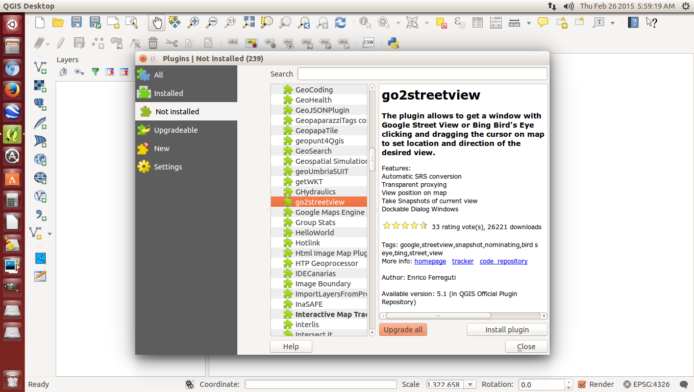
| Of course, firstly, the appropriate plugin needs to be installed |
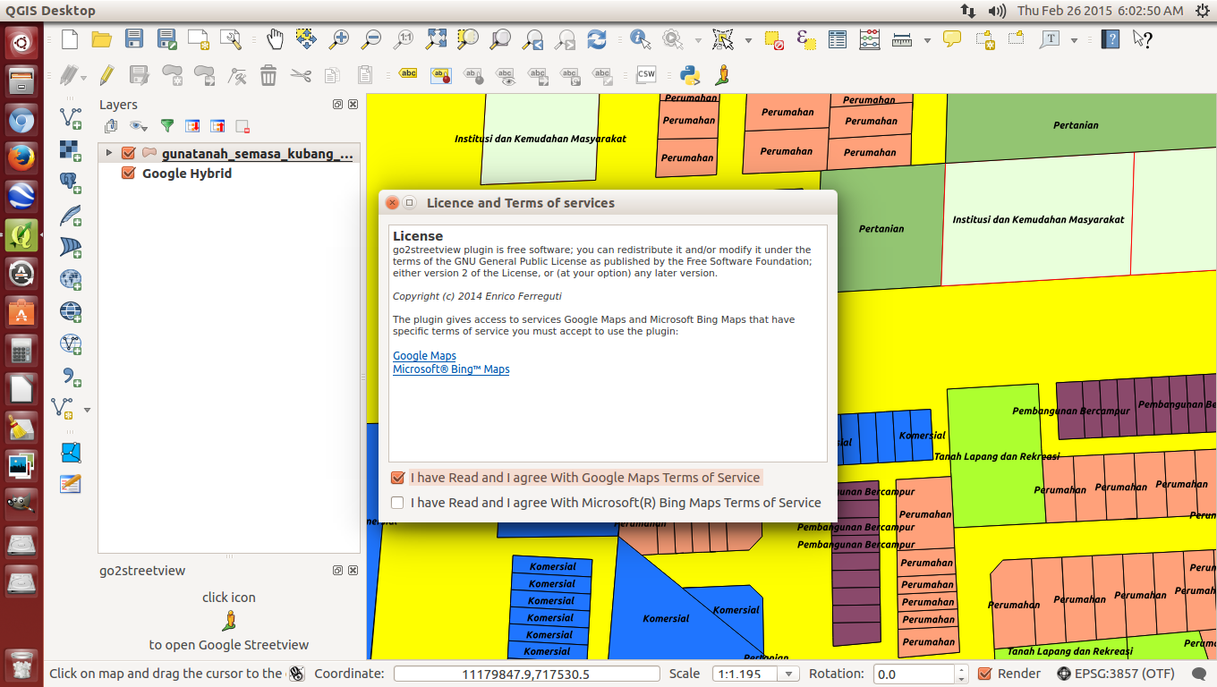 |
| Once activated, just close your eyes and tick the 2 boxes |
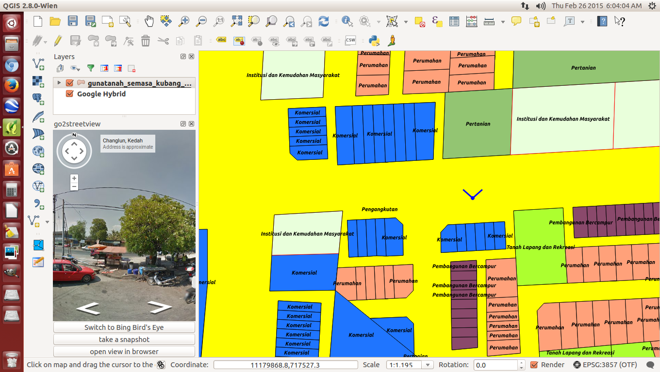 |
| Click on a particular road and a "north" street view appears on the left |
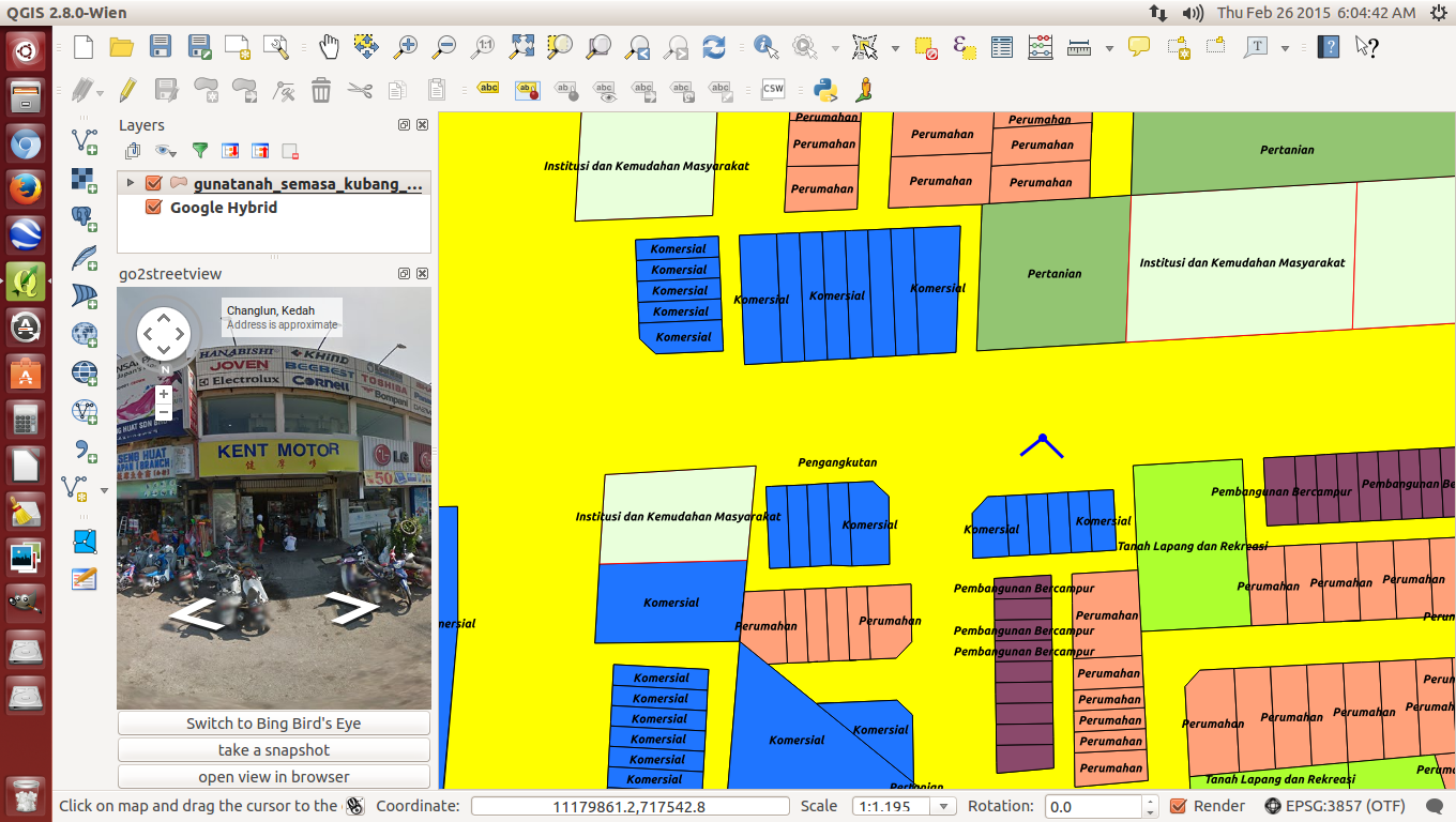 |
| Turn the North of the cardinal points to south for the other street view |
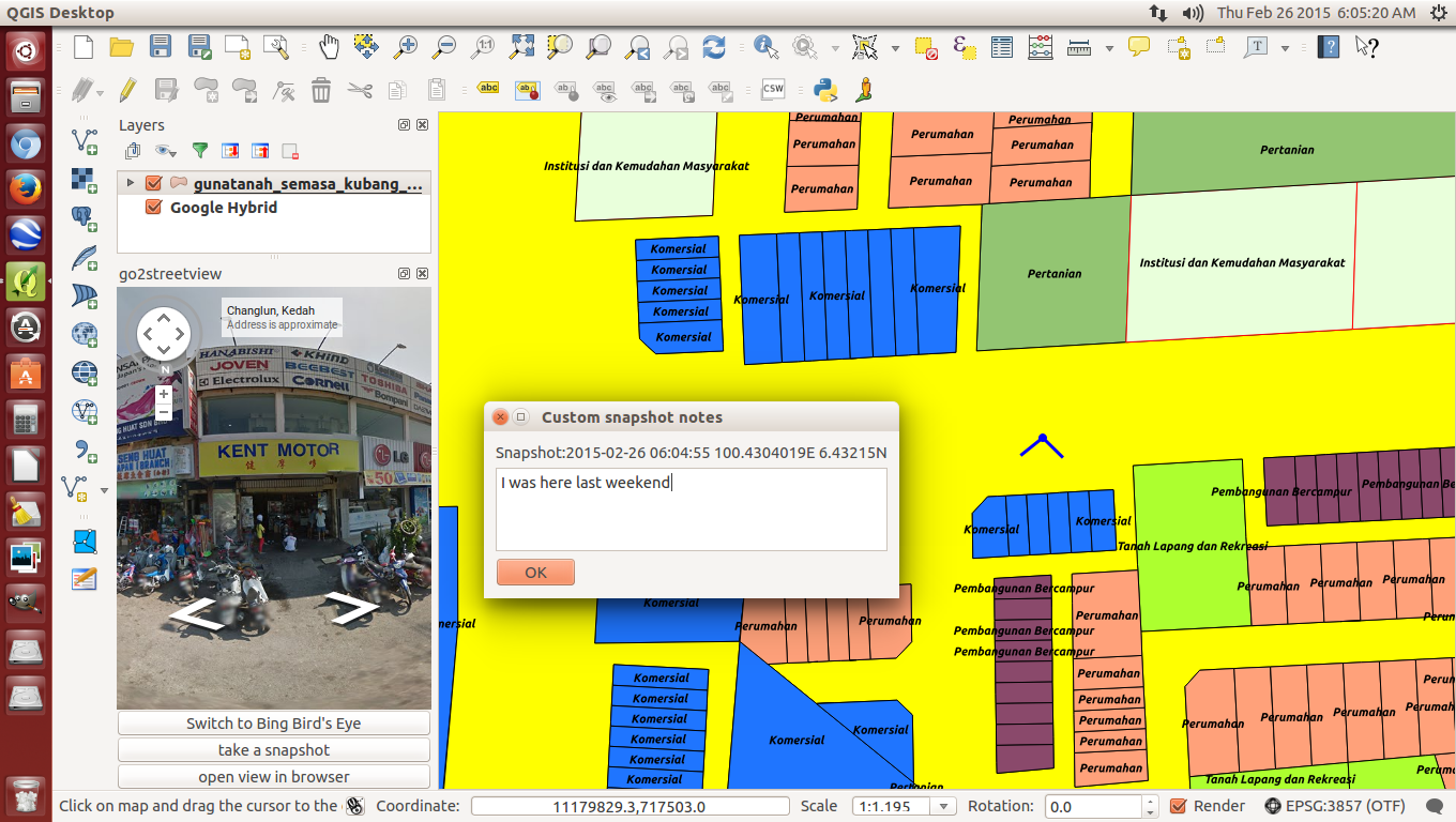 |
| Adding caption to snapshots is also possible |
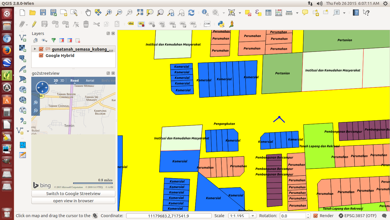 |
| Bing browser also available if you prefer to |
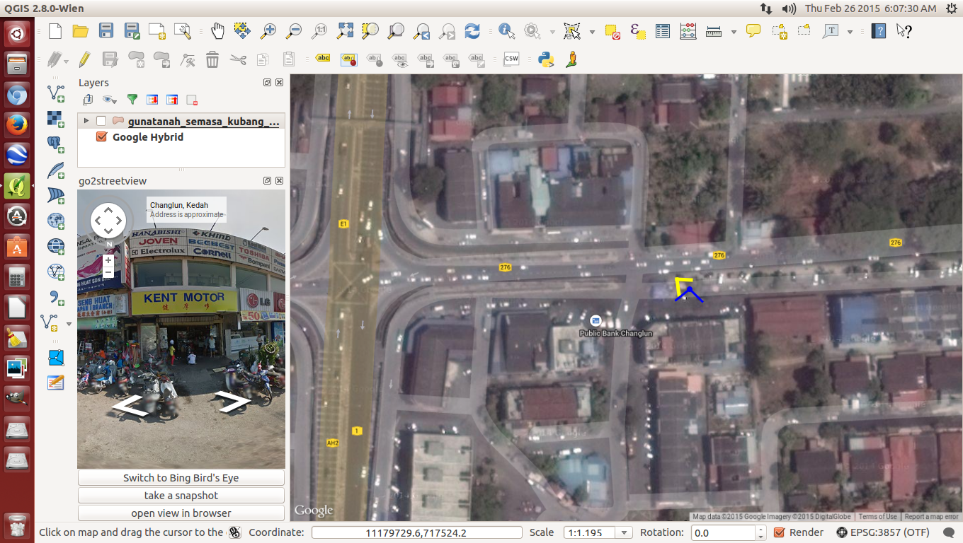 |
| Site location less existing landuse map |
Once in a while, I become a busybody and have a peep to see what's new under the Plugins section. WALLA! I noticed a Google's Map street view plugin is available. I don't know how long it existed but I decided to give it a try. As usual, that Go2 streetview plugin needs to be installed. Then, I activated Google Hybrid next decided to activate the existing landuse map, as in this case, for Kubang Pasu district in Kedah. After activating Go2streetview under the Menu bar, I clicked on an existing road because that's the way Google Streetview works where hopefully that road has been surveyed by Google's street view team (I went over to Mauritius and although that country is developed, sadly, the streets have not been surveyed by Google's Streetview team) and a License agreement box popped out. I tried just clicking the first box but the module didn't work so I guess they wanted me to click the second box too. OK!OK! Let's not be too fussy and so I did then immediately a panaromic view angle appeared, by default pointing northwards and the street view could be seen in the box on the left. To see the other views, I rotated the cardinal point knob. All this while, I was surprised that the view angle point could connect with the Google Hybrid map underneath the existing landuse map, I didn't expect that. Cool! Some extras include viewing under Bing browser, taking a snapshot and putting up some comments, if needed. I think this is an excellent tool for comparing and monitoring between Google's maps and a preferred map be it a zoning map or in my case, an existing landuse map. I checked the visibility of the Streetview module and it is so sharp, I am so embarassed to show where my house is because you can even see the cracked tarmac road in front of my gate. I can imagine it is a a great help should the weather rains or in some countries, snows or it's too cold to go outside and one wants to check an unfamiliar site. This tool will surely help cut down petrol bills which is also good for the environment too. Because of that, I got to hand it and take my hat off to the QGIS team that took time and effort to develop this plugin. Simple things mean a lot. It gets my 5***** rating.


