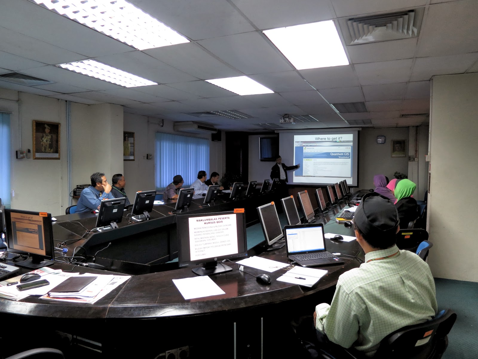


Training: Forestry Department get trained in QGIS, 25-26.2.2013
Request for QGIS training from public agencies come again and the first to be trained this year is the Forestry Department held at their headquarters in Kuala Lumpur. They explained how they are keenly looking at QGIS to overcome their dwindling financial resources and are happy to note that it can retrieve their geospatial files kept in .shp format. They will give themselves some time to be more familiar with QGIS then hope to extend its use nationwide to their state departments.
Peserta
Che Razali Che Adnan
Mudah dan cepat difahami, mempunyai kelebihan dalam menggunakan Google Maps dsb.nya dan mengurangkan kos ssoftware
Mod. Shahril Yusop
QGIS ni agak baru bagi saya maka kursus yang ditetapkan oleh Urusetia agak singkat untuk difahamai dalam masa terdekat lagi peggunaan yang selalu munkin boleh memahirkannya.
Supian Ismail
Adalah baik dipelbagaikan/kemahiran penggunaan QGIS disemua Jabatan. Ia memerlukan pendedahan yang lebih mendalam untuk menguasai sepenuhnya terutama untuk kerja editor. Memerlukan masa yang lebih lama kerana kurang tenaga pengajar.
Wahab Mohd Zin
Perisian ini baik kepada semua agensi kerajaan. Ianya memerlukan masa yang panjang untu memahai dengan lebih mendalam. QGIS sangat baik.
Mohamad Hazri
User-friendly, sangat mudah difahami
Salmiah Osman
Mudah difahami, menarik, ikon yang menarik sebab berwarna warni
Wan Ahmad Zakry Abd. Halim
QGIS ini bagus, percuma, berwarna warni dan ceria, mudah faham tapi kena belajar lebih lagi untuk mahir, mesra pengguna
Noorizah Mat Ghani
Software sangat bagus dan bertambah bagus kerana ianya percuma. Mudah difahami. Perlu berkursus lebih detail lagi memahami ikon-ikon apa yang terdapat dalam QGIS.
Noorazila
Software ini bagus dan user-friendly. Interface yang menarik dan mudah difahami


