22/11/2014

Raster Terrain Analysis

You have to activate this plugin if you want to use it
GIStutor gives tutorial
Recently, I got a request on how to do a slope gradient analysis and I must admit I am rusty on this one because I left it long time ago way back in 2010. But I looked up the plugins, found and activated the Raster Terrain Analysis plugin because it jogged my mind and I had previously used it and it turned out to be a very simple yet powerful tool. Doing a Google search on that specific plugin, I found a tutorial at GIStutor which looks not bad. Most people when they get stuck in getting help using QGIS often forget that there can be tons of help on the Internet but forget to do a simple but specifically typed out Google search to help them out especially when they are all alone with no one to guide them through. Well friends, that is how I got through on my own and I found out the more popular the subject on QGIS, the more you will find hel on the Internet.

18/11/2014

Free and Open Source (FOSS) GIS Workshop at the Royal University of Agriculture, Phnom Penh, Cambodia, 14/11/2014


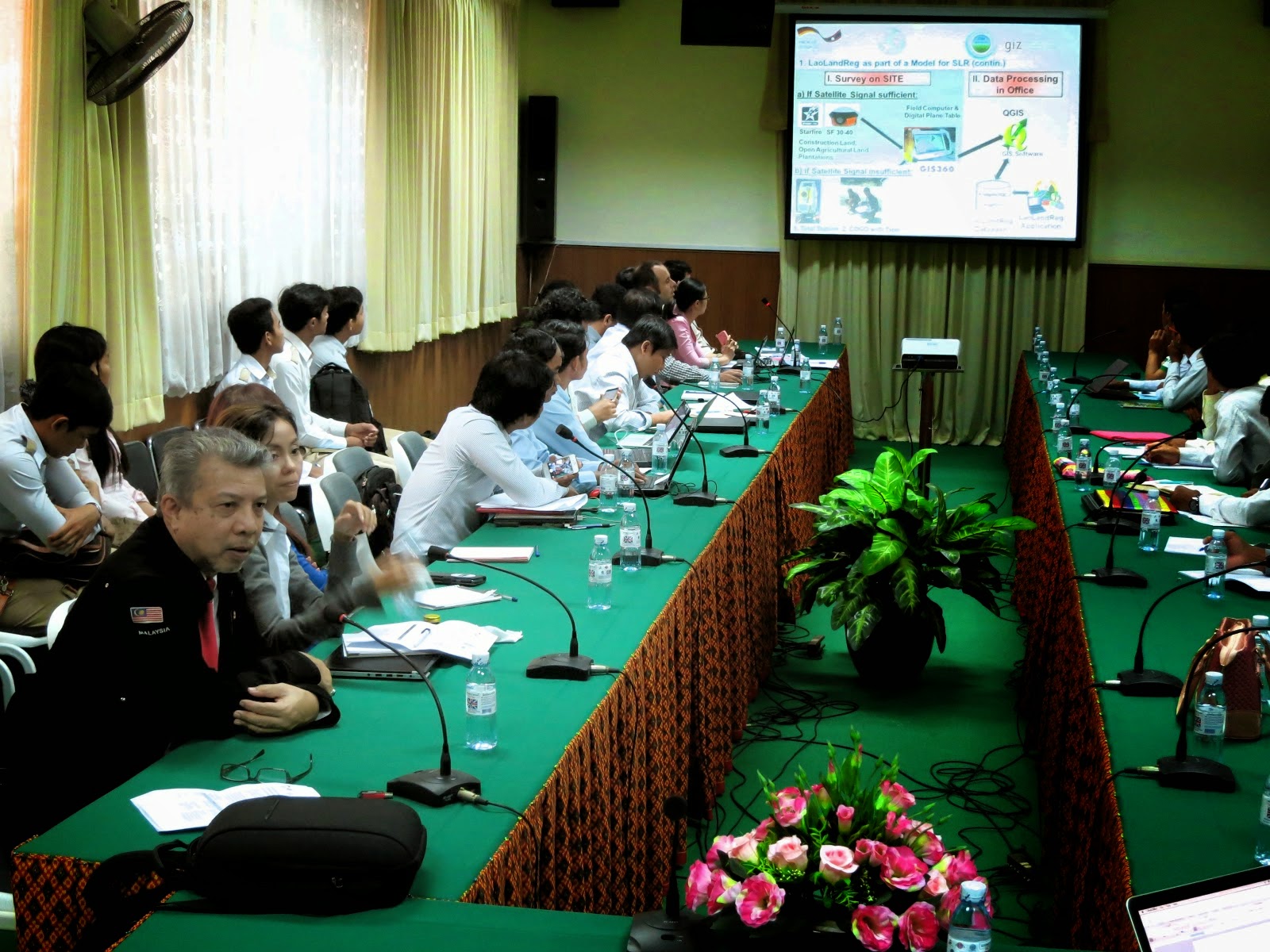
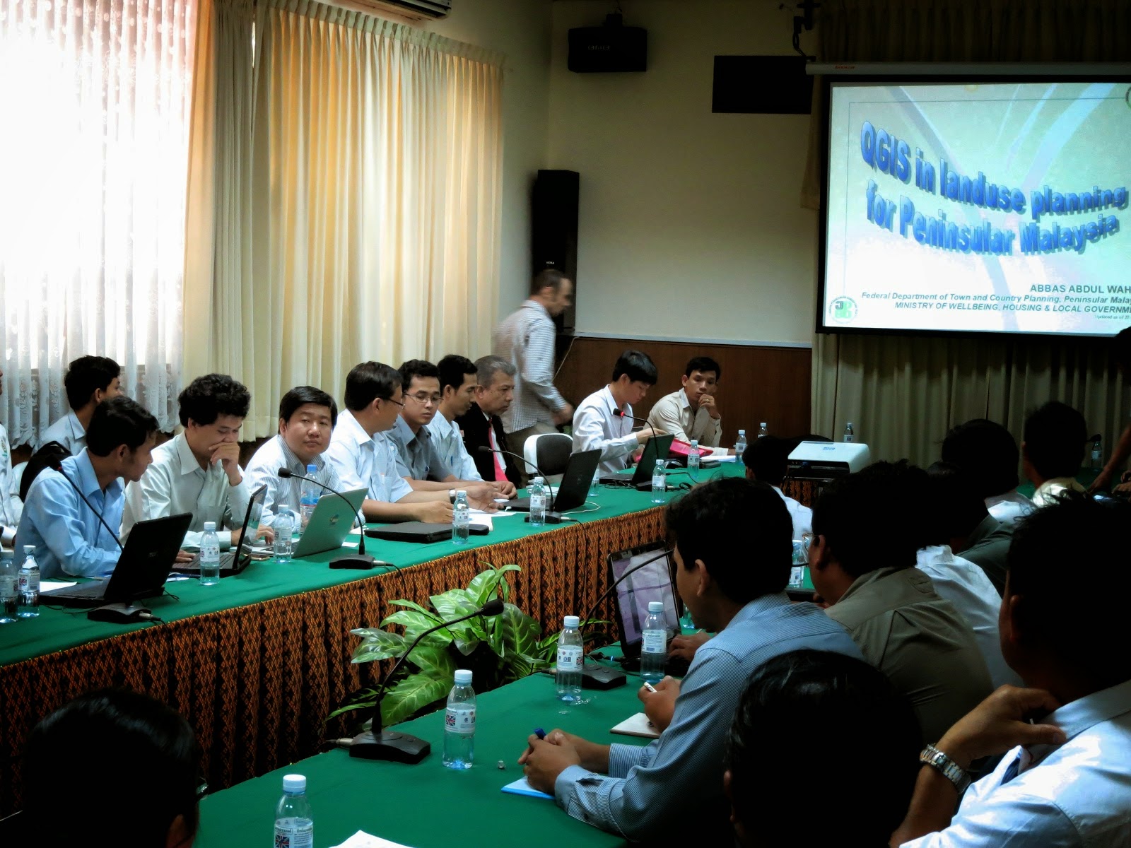
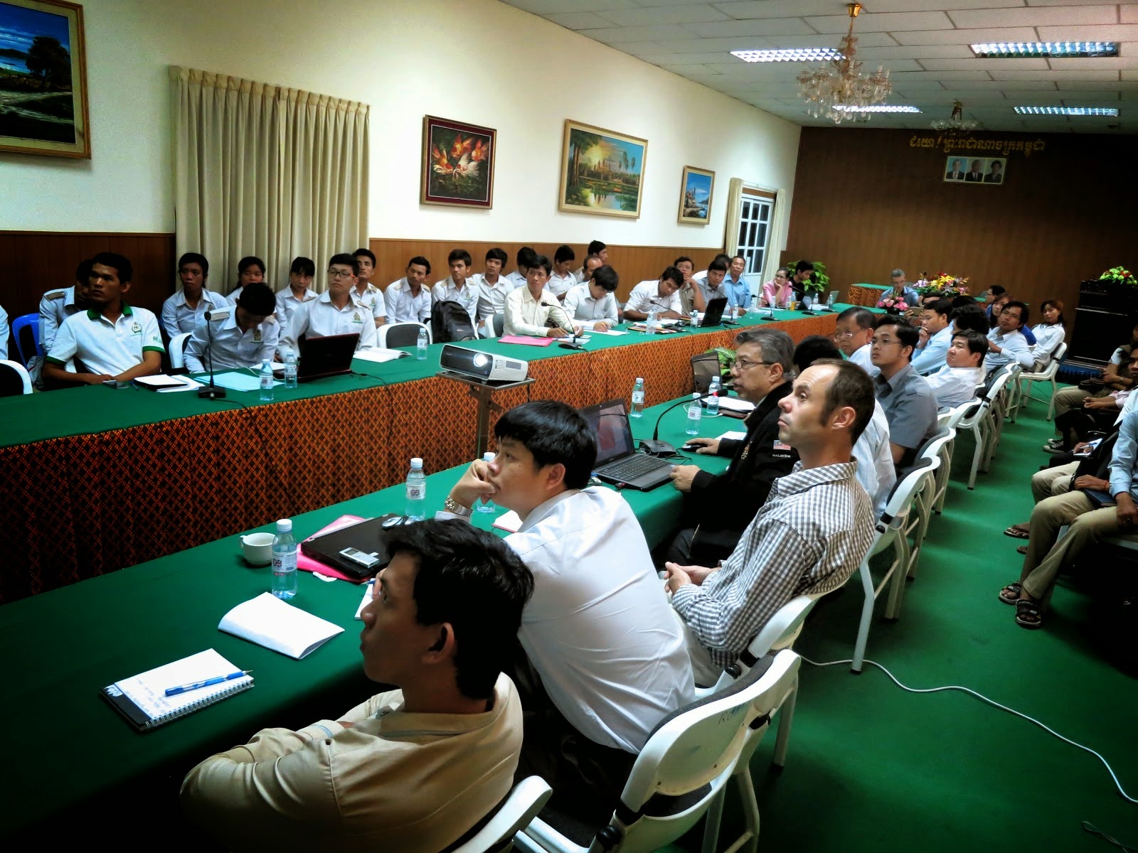
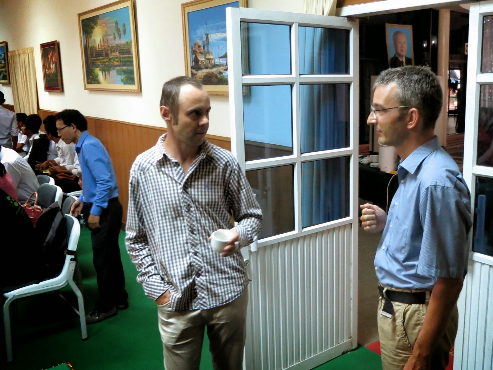
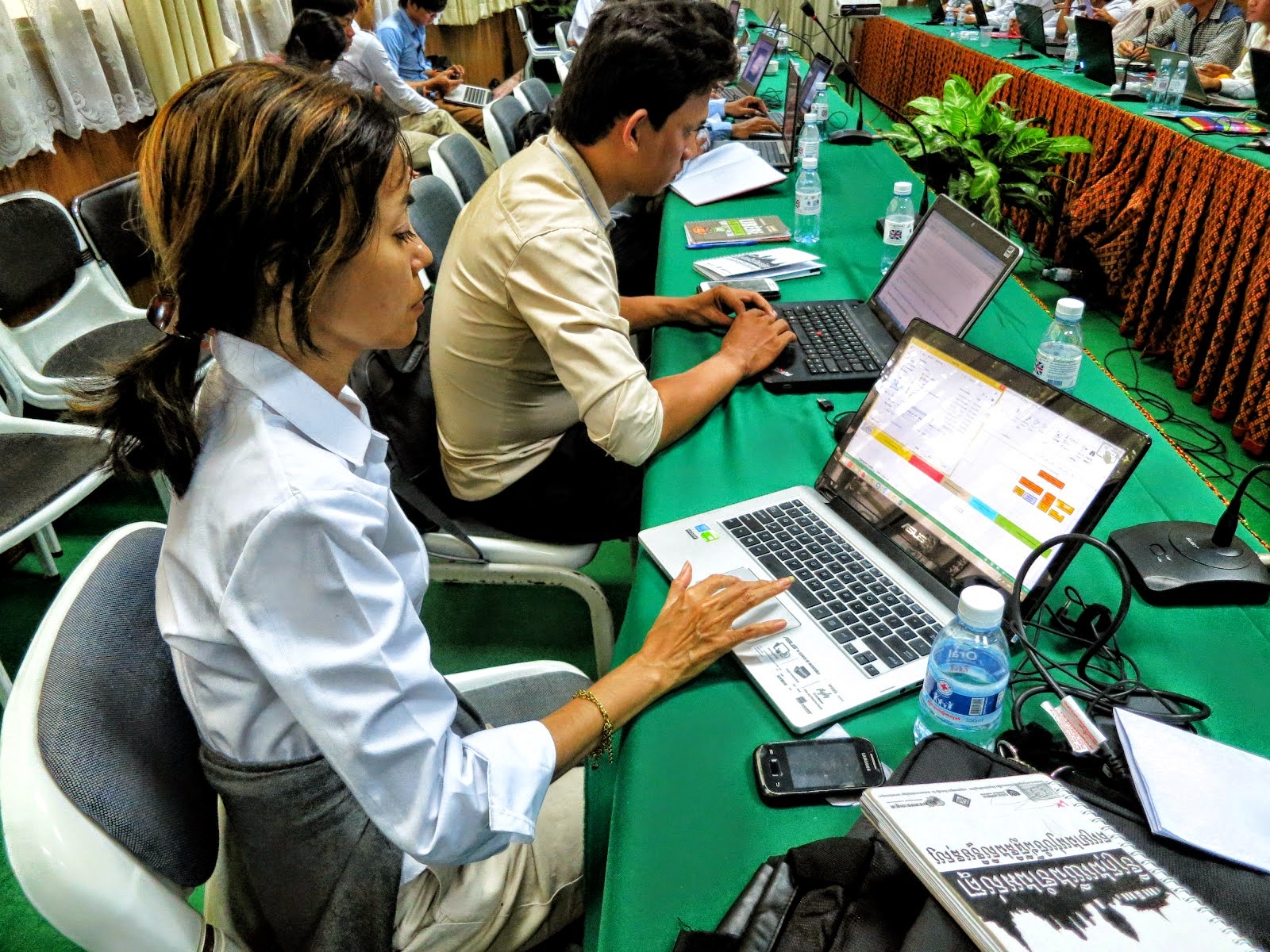
I was invited to give a talk at the above workshop organized by the Royal University of Agriculture, Cambodia in cooperation with Deutsehe Geshellschaft fur Internationale Zusammenarbeit (GIZ) GmbH. It centered on FOSS for land management and land administration with the objective to encourage the exchange of experiences and good practices, get rid of common misconceptions about FOSS and build trust in the reliability and the approach of open source software. There was a talk on the Laos Land registration System based on QGIS and PostgreSQL by Ms. Chansamai Kommanyvanh (Laos Ministry of Nat. Resources and Environment), Mr. Souksavanth Chanhtangeun and Mr. Christain Metzger (GIS Laos) After coffee break, I gave my talk on QGIS and landuse planning in Malaysia. This was followed by a talk on Geoserver implementation and integration into a website: the case study of the Open Development Cambodia website by Mr. Seila NHIEP (ODC). As we walked off for lunch, I was greeted by senior and junior participants who said they really enjoyed my presentation and found it most interesting. That pleased me a lot. After lunch, Mr. Christian Metzger talked during the workshop session on how to use the Toplogy Checker as well as plugins like MMGIS. If there was anything unfortunate, the power supply tripped 5 times during the afternoon but came back after 5 mins. I was told power failure trips are quite common in Cambodia however that day was an exception. Still, all-in-all, the Secretariat was most happy and agreed the workshop was a success where about 60 participants came and others had to be turned down because the venue could only handle a limited number of audience. I believed that with sceptics, one has to be honest about things, draw the line what QGIS can and cannot do, even clarify what desktop GIS do and cannot do then explain what alternatives are there, and lastly, the problems and challenges I faced to make the use of QGIS a success. Before this, I have been to Spain but never to Cambodia so for me, on the whole, it was most a most enjoyable trip.

06/11/2014

From PDUK to NDCDB, and away we go.


My department relies on the Survey department's (JUPEM) cadaster map in the preparation of our value-added landuse maps where we traditionally use their Solder Cassini projected cadaster maps. Since 2010, JUPEM embarked on the preparation of geodetic NDCDB cadaster maps which we welcome it because it integrates all state cadaster maps under one reference point i.e. the centre of the earth just like their topography map with its reference point at Kertau,Pahang for Peninsular Malaysia. Using my trusty QGIS, now ver 2.6, I activated Google Hybrid then all 11 state cadaster maps and was most happy to see they fit well like a jigsaw puzzle as seen in the upper image. Next, I zoom down to the point where the cadaster maps of Pahang, Negeri Sembilan and Johor meet and as shown in the lower pix, again am very pleased that JUPEM has done an excellent job. There is an issue which we found that when the PDUK 2011 was transformed to GDM2000 projection using JUPEM's parameters, it still was not a mirror reflection of NDCDB cadaster map, even found that were more lots in the PDUK 2011 than the NDCDB 2013. We have still trying to resolve this or at least compromise but one thing is for sure, the way forward is the use of the NDCDB cadaster because every new annual cadaster map produced by JUPEM is based on the geodetic map projection which to me is a sound and practical move.

02/11/2014

Ubuntu 14.10 and QGIS 2.6 Brighton


Facebook messages inform me that QGIS 2.6 is out so I decided to give it a try. I updated Ubuntu terminal mode using the apt-get update mode. Next, some files don't get updated because of  this PUBLIC key hiccup. Thankfully  my son is studying computer engineering and told me to make a Google search using no_pubkey and looking up askubuntu's How do I fix the GPG error “NO_PUBKEY”?  My son was so fast at it but roughly speaking he took a script from ask ubuntu and pasted it on the terminal then added the pubkey from the terminal and ran it. Later, I  upgraded using terminal mode. The Ubuntu Software UPdater GUI was still active so I installed what there was to install and noted it started to upgrade qgis to 2.6. Lastly, I gave the computer a logout-login, activated QGIS 2.6 and Google Hybrid then activated a landuse map of Kota Bharu and everything came out well in off the fly mode. Cool!